Career Fact Sheets
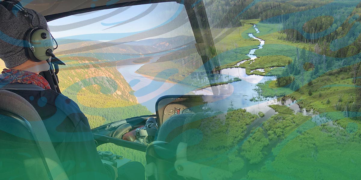
Remote Sensing Technician Remote sensing technicians use aerial photos, satellite imagery, and GIS to gather data about a place without needing to be there physically. Photo: Ducks Unlimited Canada, a PLT Canada Green Jobs employer. Remote sensing technicians gather information about a place without needing to be there physically. To do this, they use aerial photos, satellite imagery, and geographic information systems (GIS). They usually collect, process, and interpret images to map and monitor the environment. But they are able to do a lot more. For example, they can develop software, map natural disasters, track landscape changes, detect ships, and model forest structures. Similar positions to a remote sensing technician
Is it right for me?While some remote sensing technicians do field work, they mostly work at a desk. Computer and problem-solving skills are very important. They are good at focusing on details when processing and maintaining data. They are also good at relating what happens in the real world to spatial information. Take our Green Jobs personality quiz Remote sensing technician salarySalaries vary by location and employer. Wages vary from $17.50 to $52.70 per hour, or $34,000 to $103,000 annually. Remote sensing technician education*Remote sensing technicians usually have an undergraduate degree in remote sensing, geographic information systems, geomatics, geography, computer science, or environmental sciences. A one-year post-graduate diploma can help to specialize in remote sensing. A master’s degree can provide more opportunities and a higher salary. In high school, study geography, earth science, computer science, and physics. College
University
Volunteer opportunities and workshops
*Not a complete list of resources. More resources |


