Career Fact Sheets
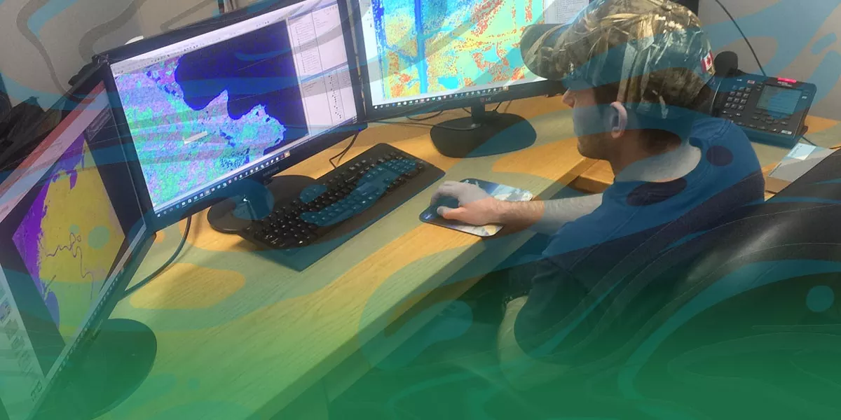
GIS Technician GIS technician analyzing mapping data. Photo: Ducks Unlimited Canada, a PLT Canada Green A geographic information system (GIS) is a set of digital mapping tools that helps to organize, communicate, and understand the science of our world. GIS technicians use scientific research, spatial data, and expert opinions to help with plans and management strategies. They also analyze patterns and trends, map natural disasters, track wildlife, measure logging rates, and much more. Typical duties include preparing maps and reports and compiling a wide variety of data to help monitor the environment. Similar positions to a GIS technician
Is it right for me?While some GIS technicians do field work, they mostly work at a desk. Computer skills, statistical and analytical skills, and problem-solving skills are very important. They are good at focusing on details when managing, analyzing, and mapping data. They can also see connections between spatial data and things that happen in the real world. Take our Green Jobs personality quiz GIS technician salarySalaries vary by location and employer. Wages vary from $21.40 to $47.18 per hour, or $41,730 to $92,000 annually. GIS technician education*GIS technicians usually have an undergraduate degree in geographic information systems, geomatics, geography, computer science, or environmental sciences. A one-year graduate certificate can help them get more work experience. A master’s degree can provide more opportunities and a higher salary. This is especially true if the master’s degree is focused on a specific GIS application. In high school, study geography, computer science, and physics. College
University
Volunteer opportunities and workshops*Not a complete list of resources. More resources |


